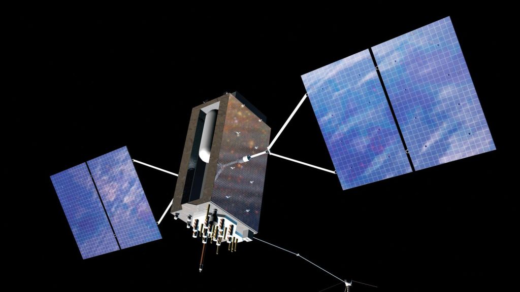
This week House Intelligence Chairman Michael Turner (R-OH) and Ranking Member Jim Himes (D-CT) said that the Committee had received “information concerning a serious national security threat.” The details are classified, but the threat reportedly involves a new Russian weapon that can take down satellites, including America’s Global Positioning System satellites. At a White House briefing, National Security Communications Advisor John Kirby said, “I can confirm that [the threat] it is related to an anti-satellite capability that Russia is developing.”
America’s GPS, a free invisible service paid for by the Federal government, depends on a constellation of 31 satellites. Americans use about 900 million GPS receivers in car navigation systems, cell phones, Garmin and Apple watches, and fleets of trucks, ambulances, buses. Ships, planes, and drones also use GPS for navigation. Industries from agriculture and construction to finance and energy production also utilize GPS.
Fortunately American innovation and initiative are coming to the rescue, so that if Russia destroys U.S. signals, ambulances and fire trucks could still find their way to your door.
Russia has already shown that it has the capability and willingness to take down satellites, taking down one of its own defunct satellites in November 2021, using a ground-based missile. But this novel space-based nuclear technology poses an entirely new set of capabilities.
In short, it’s important. If Russia successfully shoots down or GPS satellites, it could lead to chaos and cause billions of dollars of damage a day. That’s why it’s exceptionally timely that a private company, Tern AI, based in Austin, Texas, has come up with a means of navigating without using satellites.
Tern AI combines proprietary Artificial Intelligence technology with detailed maps—the kind of maps people use for driving or hiking when no signal-based navigation systems are available—into software that can run on cell phones or car infotainment systems. Rather than getting information from a satellite in space, Tern AI relies on the fact that all roads are different and uses the motion of individual vehicles to determine on what road the vehicle is travelling.
The vehicle has a suite of sensors which is used with iPhone sensors to gather proprietary motion data, which AI uses to match the unique facets of the road. This is similar to facial recognition data, but for the Earth. The uniqueness of the Earth’s geography is detected through the motion of the car, which creates a 3-D path, matched to its position on the Earth.
The navigation system, called IDPS™ (Independently Derived Positioning System), can be used by people operating cars, trucks, fleets of ambulances and firetrucks, bikes, and motorcycles. If it were marketed, the cost to roll out this groundbreaking network is limited to software only, not requiring significant physical infrastructure expenses.
On a January visit to Austin, the system took me from the airport to the University of Texas without a problem.
Shaun Moore, the co-founder and CEO of the company told me, “Tern AI is taking a completely fresh approach to this very complex problem by not relying on any external signal whatsoever. We are introducing an intelligent and independently-derived positioning system that inverts the existing paradigm by transforming every vehicle or user from a mere passive consumer of position information into an active producer of it.”
Already poised for a breakthrough, our new national security crisis makes Tern AI’s work all the more urgent. Here are several ways Tern AI could help the general public to be prepared for lapses in GPS, either from foreign entities shooting down our GPS satellites, or from electromagnetic storms.
First, car companies could decide to install Tern AI’s backup in navigation systems, so drivers would have a backup or check against satellite-based GPS.
Second, private companies with fleets of truck drivers could purchase the system and install it. Companies such as Amazon, UPS, and FedEx have an interest in always having correct locations for their vehicles.
Third, municipalities could purchase it for safety fleets, such as fleets of ambulances, fire trucks, and police cars.
Fourth, people might eventually be able to purchase the technology as an app on their mobile phones.
Finally, the Federal government could require vehicles to install it, either without payment or by paying a share of the cost.
The technology also has military applications, and can be used for rescues in extreme weather, such as mountainous snowstorms that obscure roads, since the navigation system can still make out roads beneath the snow.
In sum, Tern AI is a low-cost answer to a problem that the U.S. Department of Transportation has been working on for decades. A report describing different, more costly technologies to complement and to back up GPS was published by the Transportation Department in 2021. Late last year, the Department issued another request for information on new technologies.
With Russia ramping up its threats to communications satellites, Americans need to be protected. Thankfully American innovation has brought new, inexpensive, positioning technology to the rescue.
Read the full article here


